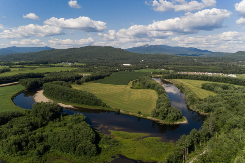
In 2021, Horizons was engaged by The Nature Conservancy to complete a boundary survey of approximately 750 acres of land situated in Northumberland, New Hampshire for a conservation project. The parcels, which are mostly active farmlands, were partially subject to a state-managed conservation easement established in the late 1980’s. Approximately 25 record surveys of the tracts had been completed by other surveyors in the past, and Horizons used these surveys for reconnaissance and basis for much of the work. Additional land records research was completed to verify title, boundary lines and existing easements. The survey was completed with a combination of precision GPS and robotic total station work with a positional tolerance of approximately two centimeters. A legal description was prepared of the easement boundary, and an area of ambiguous boundary was identified for a boundary line agreement with an abutting landowner. The final plans were recorded and a successful closing was held with the landowner. Iron rods were set at property corners that were not currently marked, and in the spring of 2022 the boundary lines will be blazed and painted for future identification and monitoring of the easement.